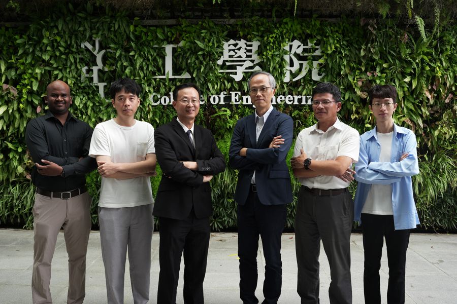
生態農業:氣候變遷下森林碳匯與生態經濟評估【國立成功大學測量及空間資訊學系/吳治達教授】
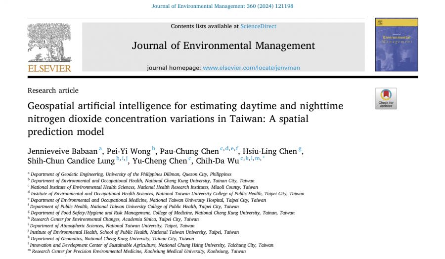
| 論文篇名 | 英文:Geospatial artificial intelligence for estimating daytime and nighttime nitrogen dioxide concentration variations in Taiwan: A spatial prediction model 中文:地理空間人工智能用於估算台灣白天和夜間二氧化氮濃度變化:一種空間預測模型 |
| 期刊名稱 | Journal of Environmental Management |
| 發表年份,卷數,起迄頁數 | 2024, 360: 121198 |
| 作者 | Babaan, Jennieveive; Wong, Pei-Yi; Chen, Pau-Chung; Chen, Hsiu-Ling; Lung, Shih-Chun Candice; Chen, Yu-Cheng; Wu, Chih-Da(吳治達)* |
| DOI | 10.1016/j.jenvman.2024.121198 |
| 中文摘要 | 二氧化氮 (NO2) 是主要由交通和工業活動排放的空氣污染物,對健康構成風險。然而,現有的空氣污染模型經常忽視NO2在一天中呈現的雙峰模式,從而低估了暴露風險。本研究旨在通過開發基於地理人工智能 (Geo-AI) 的集成混合空間模型 (EMSM),來填補這一空白,並在50米的高解析度下檢測NO2濃度的空間和時間變化。這些EMSM整合了多種空間建模方法,包括克里金法、土地利用回歸、機器學習和集成學習。模型使用了26年的NO2觀測數據、氣象參數、地理空間層以及社會和季節相關變數,這些變數代表了排放源。研究針對白天和夜間分別建立了模型,兩者的調整R²值分別達到0.92和0.93,表現出高度可靠性。研究結果顯示,夜間的NO2平均濃度(9.60 ppb)顯著高於白天(5.61 ppb),此外,冬季無論在何時段都表現出最高的NO2濃度。開發的EMSM模型被用來生成台灣在COVID限制前後的NO2濃度地圖。這些發現有助於暴露風險的流行病學研究,並為政策制定和環境規劃提供支持。 |
| 英文摘要 | Nitrogen dioxide (NO2) is a major air pollutant primarily emitted from traffic and industrial activities, posing health risks. However, current air pollution models often underestimate exposure risks by neglecting the bimodal pattern of NO2 levels throughout the day. This study aimed to address this gap by developing ensemble mixed spatial models (EMSM) using geo-artificial intelligence (Geo-AI) to examine the spatial and temporal variations of NO2 concentrations at a high resolution of 50m. These EMSMs integrated spatial modelling methods, including kriging, land use regression, machine learning, and ensemble learning. The models utilized 26 years of observed NO2 measurements, meteorological parameters, geospatial layers, and social and season-dependent variables as representative of emission sources. Separate models were developed for daytime and nighttime periods, which achieved high reliability with adjusted R2 values of 0.92 and 0.93, respectively. The study revealed that mean NO2 concentrations were significantly higher at nighttime (9.60 ppb) compared to daytime (5.61 ppb). Additionally, winter exhibited the highest NO2 levels regardless of time period. The developed EMSMs were utilized to generate maps illustrating NO2 levels pre and during COVID restrictions in Taiwan. These findings could aid epidemiological research on exposure risks and support policy-making and environmental planning initiatives. |
| 發表成果與本中心研究主題相關性 | 本研究探討之主題著眼在地理人工智慧於環境汙染與永續環境管理之應用,模型中亦探討森林對細懸浮微粒汙染之影響,與本中心高度相關。 |

