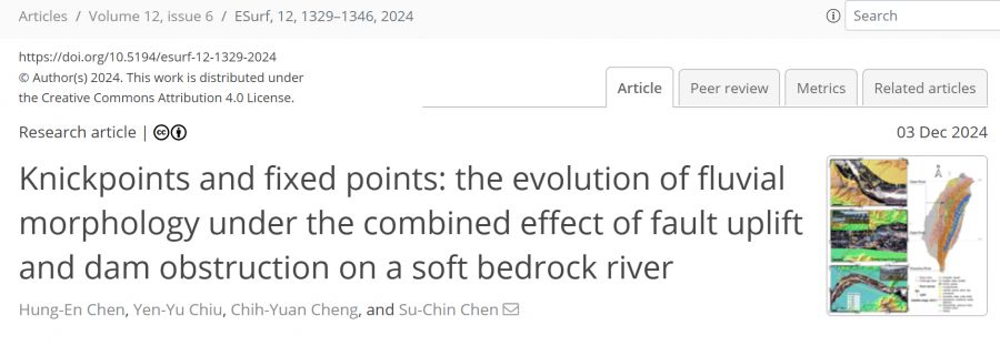
【學術亮點】Knickpoints and Fixed Points: The Evolution of Fluvial Morphology under the Combined Effect of Fault Uplift and Dam Obstruction on a Soft Bedrock River
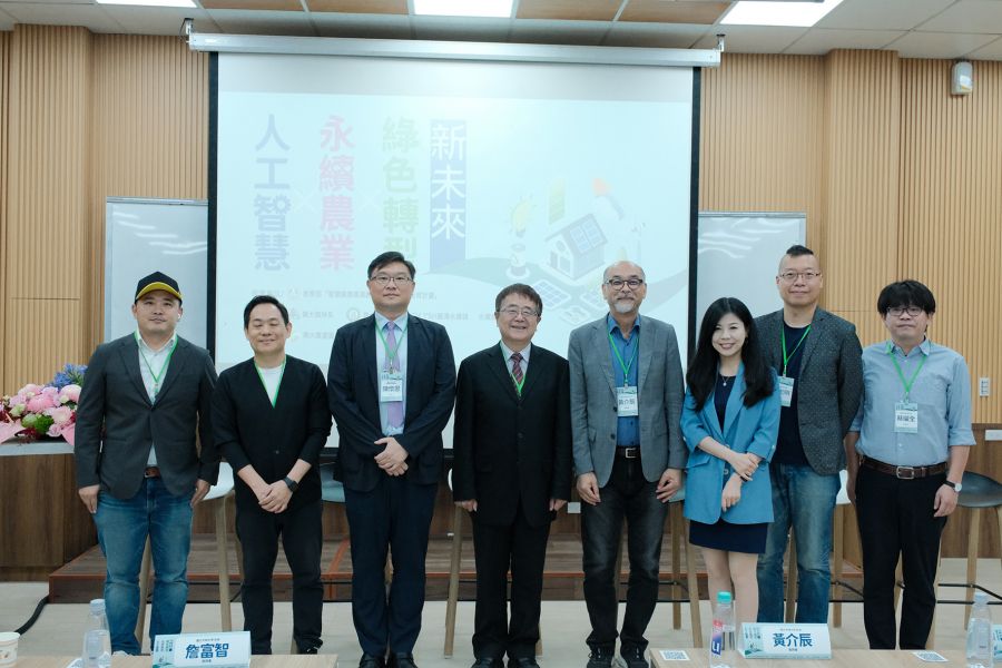
Ecological Agriculture: Nature-based Solutions for Restoring Ecological Landscapes on Degraded Hillslopes due to Extreme Climate Events【Department of Soil Water Conservation / Chen, Su-Chin / Distinguished Professor】
生態農業:自然解方修復極端氣候退化坡地之生態地景【水土保持學系/陳樹群特聘教授】
| 論文篇名 | 英文:Knickpoints and Fixed Points: The Evolution of Fluvial Morphology under the Combined Effect of Fault Uplift and Dam Obstruction on a Soft Bedrock River 中文:遷急點與固定點:斷層抬升與壩體阻擋共同作用下軟岩河流地貌之演化 |
| 期刊名稱 | Earth Surface Dynamics |
| 發表年份,卷數,起迄頁數 | 2024, 12, 1329–1346 |
| 作者 | Chen, Hung-En; Chiu, Yen-Yu; Cheng, Chih-Yuan; Chen, Su-Chin(陳樹群)* |
| DOI | 10.5194/esurf-12-1329-2024 |
| 中文摘要 | 河流地貌在受到外部因素如地震或大型水壩阻隔干擾後,可能會發生迅速變化。本研究記錄河流在複合因素影響下形態演變,增進了對河流地貌學的理解。台灣的大甲溪是一個地震斷層(1999年芮氏規模7.6集集地震)與水壩影響的獨特案例。台灣由於地勢陡峭且降雨豐沛,河流在受干擾後20年間展現出特有的演化特徵。本研究同時考慮兩條具有類似先天條件的對比河流:大安溪同樣受到集集地震斷層的影響;濁水溪則受到了2001年完工的水壩建設影響。研究利用測量數據與遷急點變遷模型,分析這三條河流的演化並提出假說模型。結果顯示,遷急點在水流作用下向上游遷移,而水壩則作為固定點,導致高程落差增加及下游河道切割。由此,大甲溪的縮窄與切割從兩端開始,並在複合作用下逐漸擴展至全河段。 |
| 英文摘要 | Rapid changes in river geomorphology can occur after being disturbed by external factors like earthquakes or large dam obstructions. Studies documenting the evolution of river morphology under such conditions have advanced our understanding of fluvial geomorphology. The Dajia River in Taiwan presents a unique example of the combined effects of a coseismic fault (the 1999 Mw 7.6 Chi-Chi earthquake) and a dam. As a result of the steep terrain and abundant precipitation, rivers in Taiwan have exhibited characteristic post-disturbance evolution over 20 years. This study also considers two other comparative rivers with similar congenital conditions: the Daan River was affected by a thrust fault Chi-Chi earthquake as well, and the Zhuoshui River was influenced by dam construction finished in 2001. The survey data and knickpoint migration model were used to analyze the evolution of the three rivers and propose hypothesis models. Results showed that the mobile knickpoint migrated upstream under the influence of flow, while the dam acted as a fixed point, leading to an increased elevation gap and downstream channel incision. Thereby, the narrowing and incision of the Dajia River began at both ends and progressively spread to the whole reach under the combined effects. |
| 發表成果與本中心研究主題相關性 | 永續農業創新發展中心關注的是水土保持與農田灌溉系統的永續性,而河流地貌演變研究正是連結「河川動態—沉砂供給—灌溉網絡—農業生產」之間的關鍵課題。以下列點說明本研究與中心目標的對應性: 1. 大甲溪作為臺中地區的「母親之河」,提供中下游平原重要的灌溉用水與民生取水,其上游的冰蝕地形與豐沛降雨造就穩定水源。透過對震災與壩體干擾後河床演化的量化分析,可預測河道變遷對灌溉取水點的影響,確保農田灌溉系統的持續穩定。 2. 河流切割與淤積過程不僅影響河道形態,也調控沖積扇上土壤的更新頻率與肥力分布。遷急點向上游遷移與水壩阻隔砂石輸送,改變了沉積層厚度與粒徑分布,進而影響沖積平原的土壤質地和農地生產力。 3. 一旦河道下切或橋梁裸露,颱洪期間殘留堤防易潰堤,對沿岸農田與村落構成威脅。本研究透過模型模擬地震斷層與水壩雙重作用下的河相演變,可為防災規劃提供科學依據,減輕農業災害損失。 |