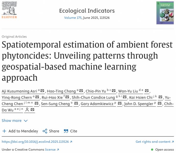
【學術亮點】Spatiotemporal estimation of ambient forest phytoncides: Unveiling patterns through geospatial-based machine learning approach
Ecological Agriculture: Assessment of Forest Carbon Sink and Ecological Economy under Climate Change【 Department of Forestry / Liu, Wan-Yu / Distinguished Professor 、Department of Geomatics, National Cheng Kung University / Wu, Chih-Da / Professor】
生態農業:氣候變遷下森林碳匯與生態經濟評估【森林學系/柳婉郁特聘教授、國立成功大學測量及空間資訊學系/吳治達教授】
| 論文篇名 | 英文:Spatiotemporal estimation of ambient forest phytoncides: Unveiling patterns through geospatial-based machine learning approach 中文:環境森林芬多精之時空估測:以地理空間機器學習方法揭示其分布特徵 |
| 期刊名稱 | Environmental Pollution |
| 發表年份,卷數,起迄頁數 | 2025, 175, no.113526 |
| 作者 | Asri, Aji Kusumaning; Chang, Hao-Ting; Yu, Chia-Pin; Liu, Wan-Yu(柳婉郁); Chern, Yinq-Rong; Xie, Rui-Hao; Lung, Shih-Chun Candice; Chi, Kai Hsien; Chen, Yu-Cheng; Cheng, Sen-Sung; Adamkiewicz, Gary; Spengler, John D.; Wu, Chih-Da(吳治達)* |
| DOI | 10.1016/j.ecolind.2025.113526 |
| 中文摘要 | 本研究探討臺灣溪頭自然教育園區內樹種所釋放的生物源揮發性有機化合物(biogenic volatile organic compounds, BVOCs),特別著重於其代表性成分——森林芬多精之環境濃度估測。研究中首次嘗試以地理空間為基礎的機器學習方法進行應用,估算主要芬多精(如樟烯 camphene 與 α-蒎烯 α-pinene)的環境濃度。研究設計包含現地蒐集芬多精濃度資料,並整合氣象因子、地形、土地覆蓋及鄰近地標等地理空間數據作為解釋變數。模型部分則採用隨機森林(RF)、梯度提升(GB)、極端梯度提升(XGB)及輕量梯度提升機器(LGBM),並結合可解釋人工智慧工具進行估測。模型效能透過過擬合檢驗、十折交叉驗證及分層分析加以評估。結果顯示,RF 與 XGB 表現最佳,分別可解釋 camphene 與 α-pinene 在時空變異上的 83.3% 與 98.4%。廣泛的驗證進一步確認了模型的穩健性。空間分布分析指出,芬多精濃度的變化與氣象條件及植被類型高度相關。本研究提出了一種創新方法,能夠準確估測並繪製森林芬多精的時空分布圖,為環境管理、都市規劃與公共衛生提供重要參考。 |
| 英文摘要 | This study investigated biogenic volatile organic compounds (BVOCs) emitted by tree species, with a specific focus on estimating their ambient air concentrations within the Xitou Nature Education Area, Taiwan. Employing geospatial-based machine learning approaches, which are rarely applied in this context, we aimed to estimate the ambient levels of key forest phytoncides which are representative compounds within the BVOC group. Data on phytoncide, including camphene and α-pinene, were directly collected from the study area. Geospatial data including meteorological factors, topography, land cover, and nearby landmarks were additionally collected and set as predictor variables influencing phytoncides. Random Forest (RF), Gradient Boosting (GB), Extreme Gradient Boosting (XGB), and Light Gradient Boosting Machine (LGBM) were integrated with an explainable artificial intelligence tool to develop the model estimates. To evaluate model performance, we conducted overfitting tests, 10-fold cross-validation, and stratified analysis. The results showed that RF and XGB were the most effective algorithms, explaining approximately 83.3% and 98.4% of the spatiotemporal variability in camphene and α-pinene, respectively. The robustness of these models was confirmed through extensive validation. Spatial pattern analysis revealed that variations in these biogenic compound concentrations were linked to meteorological conditions and vegetation types. Finally, this study presented an innovative approach to accurately estimating and mapping the spatial distribution of forest phytoncides, providing valuable insights to support environmental management, urban planning, and public health. |
| 發表成果與本中心研究主題相關性 | 本研究成果對永續農業具有重要助益。森林芬多精(BVOCs)如 camphene 與 α-pinene,除了在森林生態中扮演關鍵角色外,亦被證實具有抑菌、抗蟲與促進植物健康的潛在效益。透過本研究提出的地理空間機器學習方法,不僅能高精度估測芬多精在時間與空間上的分布,還能揭示其與氣象條件、地形與植被類型的關聯性。這為農業部門提供了一種創新工具,使得農田規劃與作物配置可更科學地考量自然釋放的生物性物質,藉以降低病蟲害風險、減少農藥使用,並提升作物健康與生產力。同時,對於都市農業與農村環境管理而言,芬多精分布圖可作為綠地配置與農林共生規劃的依據,促進生態循環,進一步達成減碳、增韌及永續發展的目標。 |