【學術亮點】Assessing 3-D variability of ultrafine particle using a Geo-AI modelling approach: A case study in Zhunan-Miaoli, Taiwan
Ecological Agriculture: Assessment of Forest Carbon Sink and Ecological Economy under Climate Change【 Department of Geomatics, National Cheng Kung University / Wu, Chih-Da / Professor】
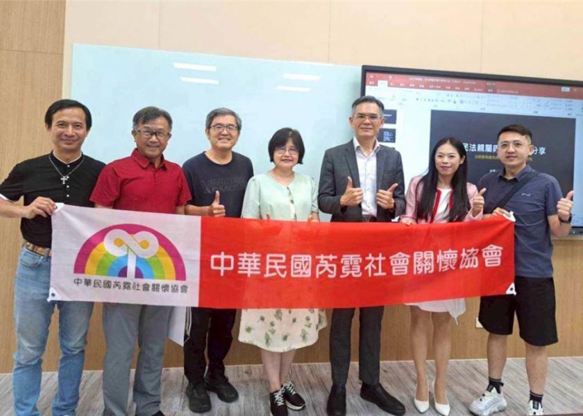
生態農業:氣候變遷下森林碳匯與生態經濟評估【國立成功大學測量及空間資訊學系/吳治達教授】
| 論文篇名 | 英文:Assessing 3-D variability of ultrafine particle using a Geo-AI modelling approach: A case study in Zhunan-Miaoli, Taiwan 中文:運用地理人工智慧建模方法評估超細粒子之三維變異性:以台灣苗栗竹南為案例 |
| 期刊名稱 | Environmental Pollution |
| 發表年份,卷數,起迄頁數 | 2025, 383, no.126879 |
| 作者 | Hsu, Chia-Wei; Chern, Yinq-Rong; Su, Jun-Jun; Wong, Pei-Yi; Asri, Aji Kusumaning; Wijaya, Candera; Chen, Yu-Cheng; Lung, Shih-Chun Candice; Hsiao, Ta-Chih; Teo, Tee-Ann; Shih, Yi-Liang; Wu, Chih-Da(吳治達)* |
| DOI | 10.1016/j.envpol.2025.126879 |
| 中文摘要 | 以往的空氣污染模式研究多半著重於水平分布,卻忽視了城市環境中污染物濃度在垂直方向上的關鍵變異性。因此,空氣污染物的三維(3-D)行為,特別是超細懸浮微粒(PM0.1),仍缺乏充分的特徵描述。本研究以台灣苗栗縣的竹南與頭份地區為案例,探討 PM0.1 的三維分布情形。我們使用六旋翼無人機,在 12 個地點、40 公尺、60 公尺及 100 公尺的高度進行 PM0.1 濃度量測。進一步建立地理人工智慧(Geo-AI)模式,以土地利用、氣象資料及三維建築資料等作為預測變數,用於估算 PM0.1 的三維濃度分布。透過 SHapley Additive exPlanations(SHAP)方法進行變數篩選,結果顯示關鍵預測因子包括建築高度、氣溫、二氧化碳、一氧化氮、森林覆蓋率以及與建築物的三維空間距離。本研究採用五種機器學習演算法進行建模,其中極端梯度提升迴歸(Extreme Gradient Boosting Regressor, XGBR)表現最佳,訓練資料的 R² 達 0.98。模型的穩健性進一步經由 10 折交叉驗證與分層驗證檢驗,R² 值均超過 0.85,顯示該模式能有效捕捉不同環境條件下 PM0.1 的空間變異。本研究結果凸顯了城市環境中污染物垂直傳輸的重要性,並指出在城市規劃與公共衛生政策中,有必要納入更精細的三維量測。 |
| 英文摘要 | Previous air pollution modeling studies have predominantly emphasized horizontal distributions, overlooking the critical vertical variability of pollutant concentrations in urban environments. Therefore, the three-dimensional (3-D) behavior of air pollutants, and of ultrafine particulate matter (PM0.1) in particular, is insufficiently characterized. This study examined the 3-D distribution of PM0.1 in the Zhunan and Toufen regions in Miaoli, Taiwan. Using a hexacopter drone, PM0.1 concentrations were measured at 12 locations, at altitudes of 40, 60, and 100 m. A geospatial-artificial intelligence (Geo-AI) model was developed to estimate 3-D PM0.1 concentrations, incorporating databases such as land use, meteorology, and 3-D building data as predictor variables. SHapley Additive exPlanations (SHAP) analysis for variable selection showed that key predictors were building height, temperature, carbon dioxide, nitric oxide, forest coverage and 3-D spatial distance from buildings. Five machine learning algorithms were used for modeling. Extreme Gradient Boosting Regressor (XGBR) achieved the best performance with a training R2 of 0.98. The model's robustness was further examined through 10-fold cross-validation and stratified validation, which yielded R2 values exceeding 0.85, indicating a strong ability to capture the spatial variation of PM0.1 across different environmental conditions. These findings underscored the crucial role of vertical pollutant dispersion in urban environments and the need to incorporate detailed 3-D measurements into urban planning and public health policies. |
| 發表成果與本中心研究主題相關性 | 本研究以無人機量測與Geo-AI模型探討PM0.1的三維分布特性,不僅突破過去僅著重水平分布的侷限,更揭示了都市環境中垂直污染傳輸的重要性。這樣的成果對永續農業具有極大助益,因為農業生產高度依賴空氣品質與環境條件,尤其是超細懸浮微粒(PM0.1)會影響作物光合作用效率、農田土壤養分累積及農作物健康。透過本研究建立的高精度三維污染估測模式,農業部門可更精準掌握不同高度與空間條件下的污染風險,進而規劃合理的農業用地配置、作物選擇與管理策略。例如,在空氣污染高風險的區域,能提早導入耐逆境作物、智慧農業監測或防護措施,以降低污染衝擊。此一方法將空氣污染科學與農業規劃結合,不僅提升糧食生產韌性,更有助於推動兼顧環境保護與糧食安全的永續農業發展。 |